July 15, 2023 - South Jersey Funfly
|
|
I haven't flown in almost a month -- I was away touring Germany -- so the plan for today was to have a long, fun flight. It's been hot so I flew in the morning when it was cooler.
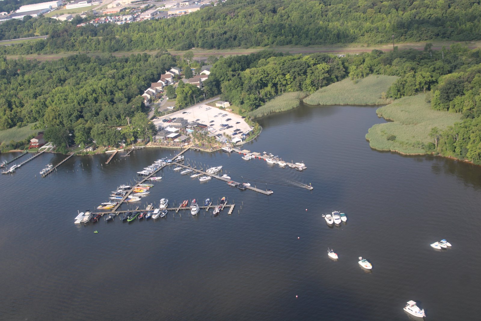
I started out over the Back River next to Essex Skypark. The dock bar Tiki Lees is having their annual "Shootout on the River" which includes an airshow. The airspace is Notamed for the airshow but doesn't take effect until 2PM so I have plenty of time to fly beforehand.
|
| |
 |
|
|
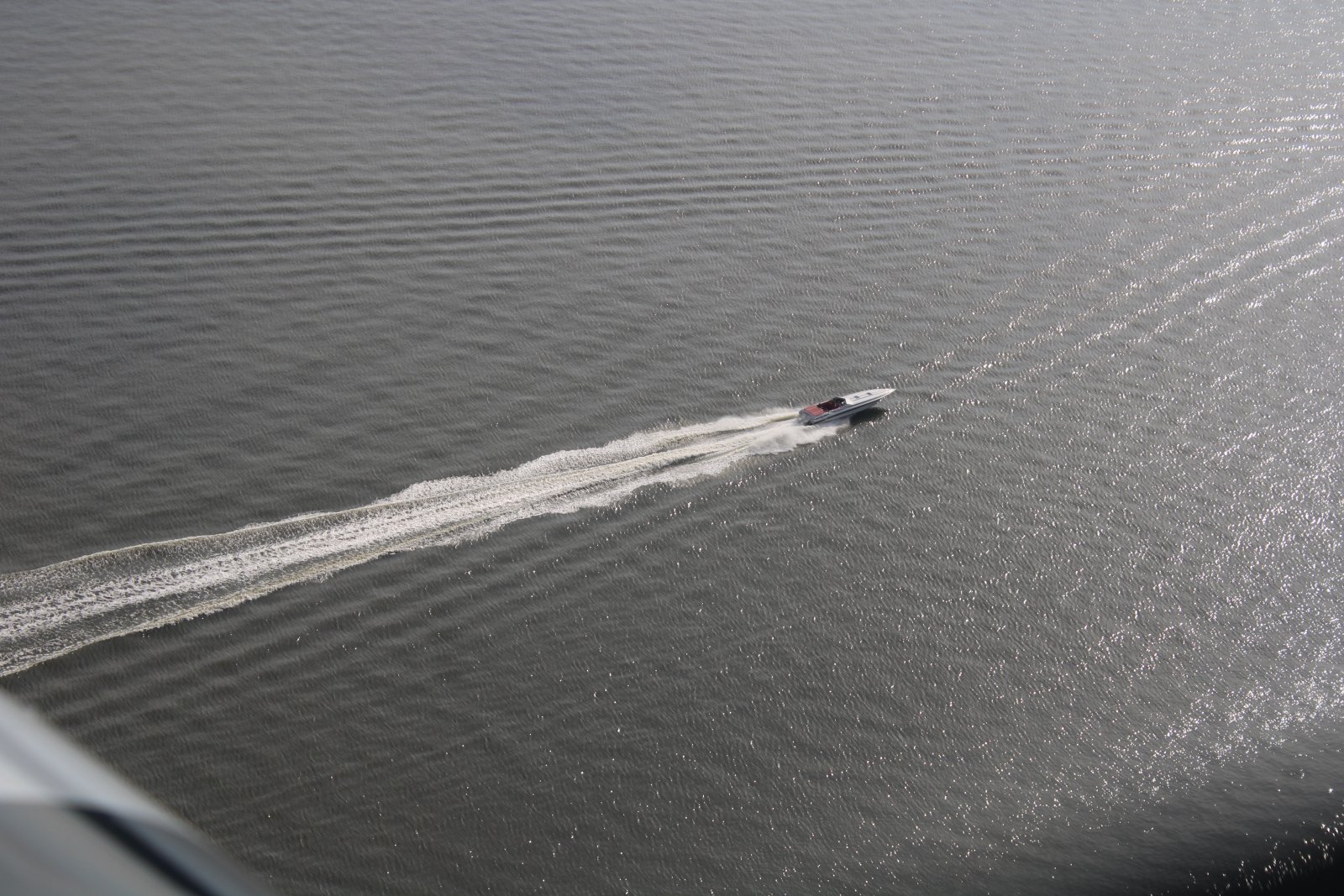
A cigarette boat making some speed on the Back River.
|
| |
 |
|
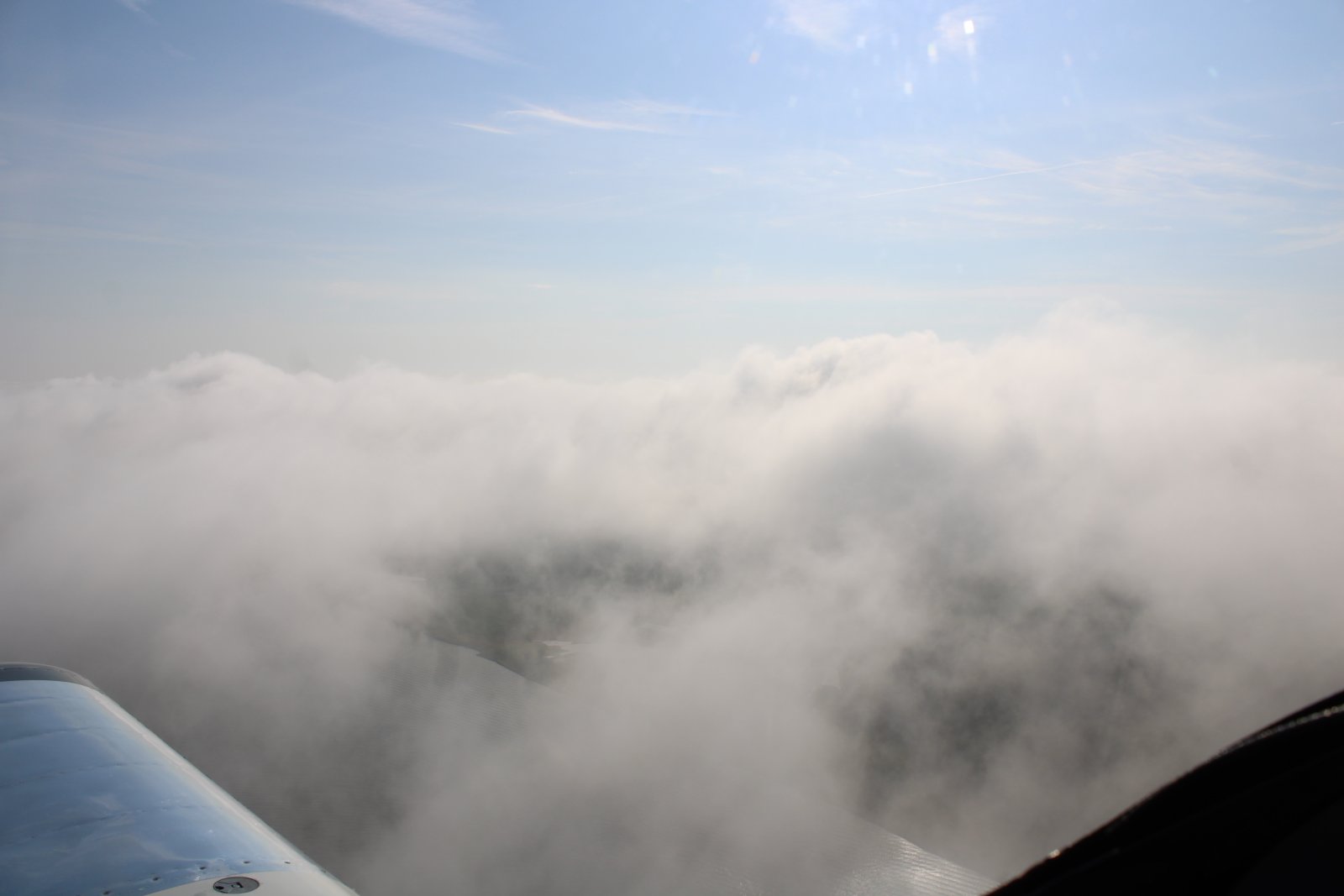
| Crossing the bay, I encountered an unusual broken layer at about 1,000 feet. |
| |
 |
|
|
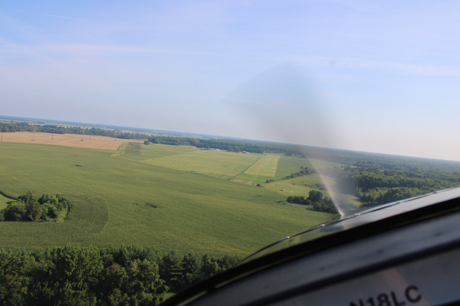
The broken layer disappeared over the eastern shore and by the time I lined up for a low-pass at Massey Aerodrome it was totally gone.
|
| |
 |
|
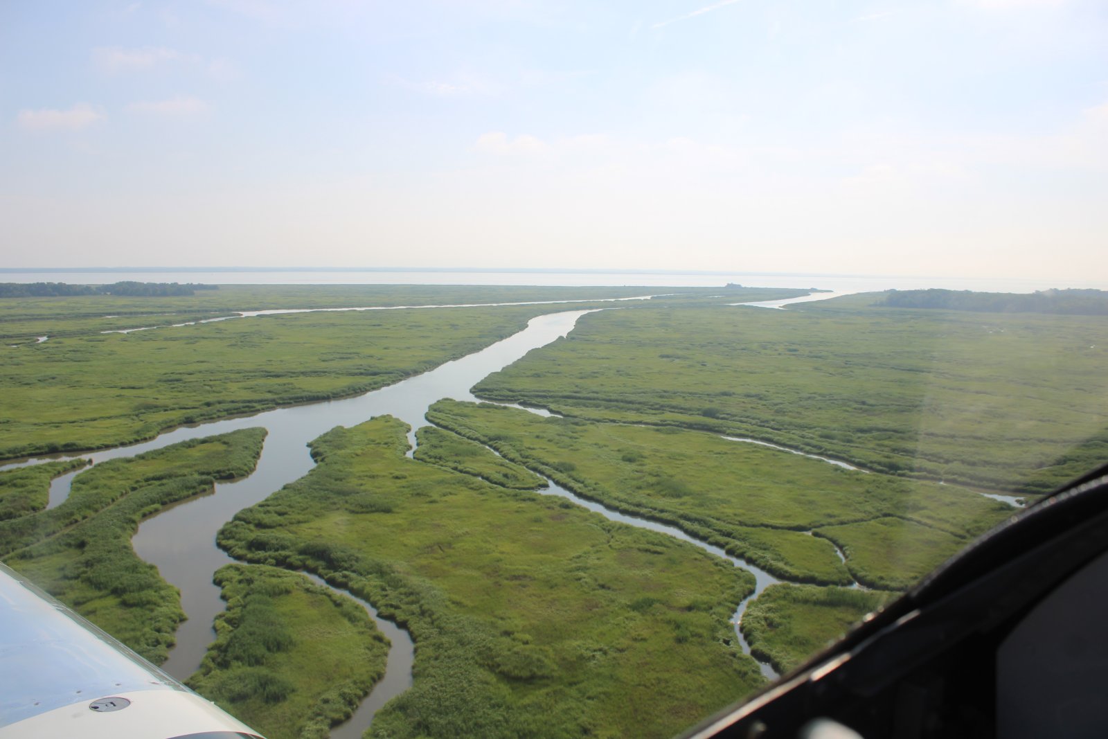
| Today I was flying the marsh areas on both sides of the Delaware River in the triangular area between Wilmington, Dover and Cape May. I started with the Delaware side first. |
| |
 |
|
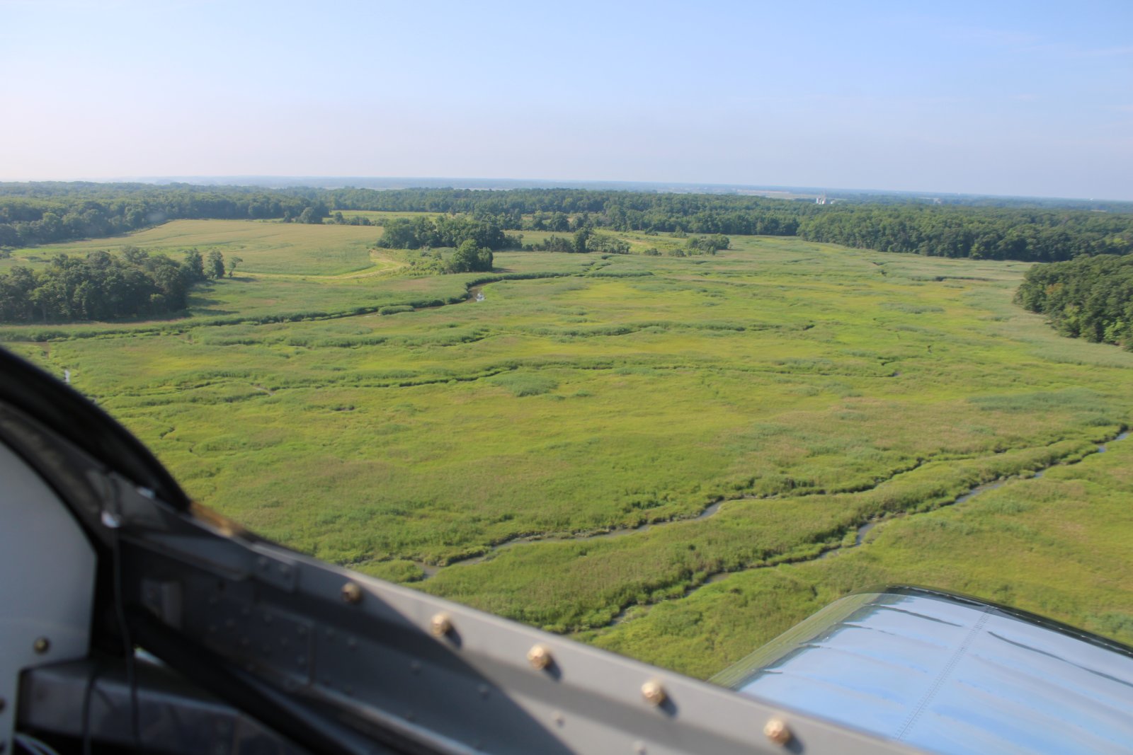
| This is a good time of the year to fly the marshes. The grass has turned from winter/spring brown to bright green. |
| |
 |
|
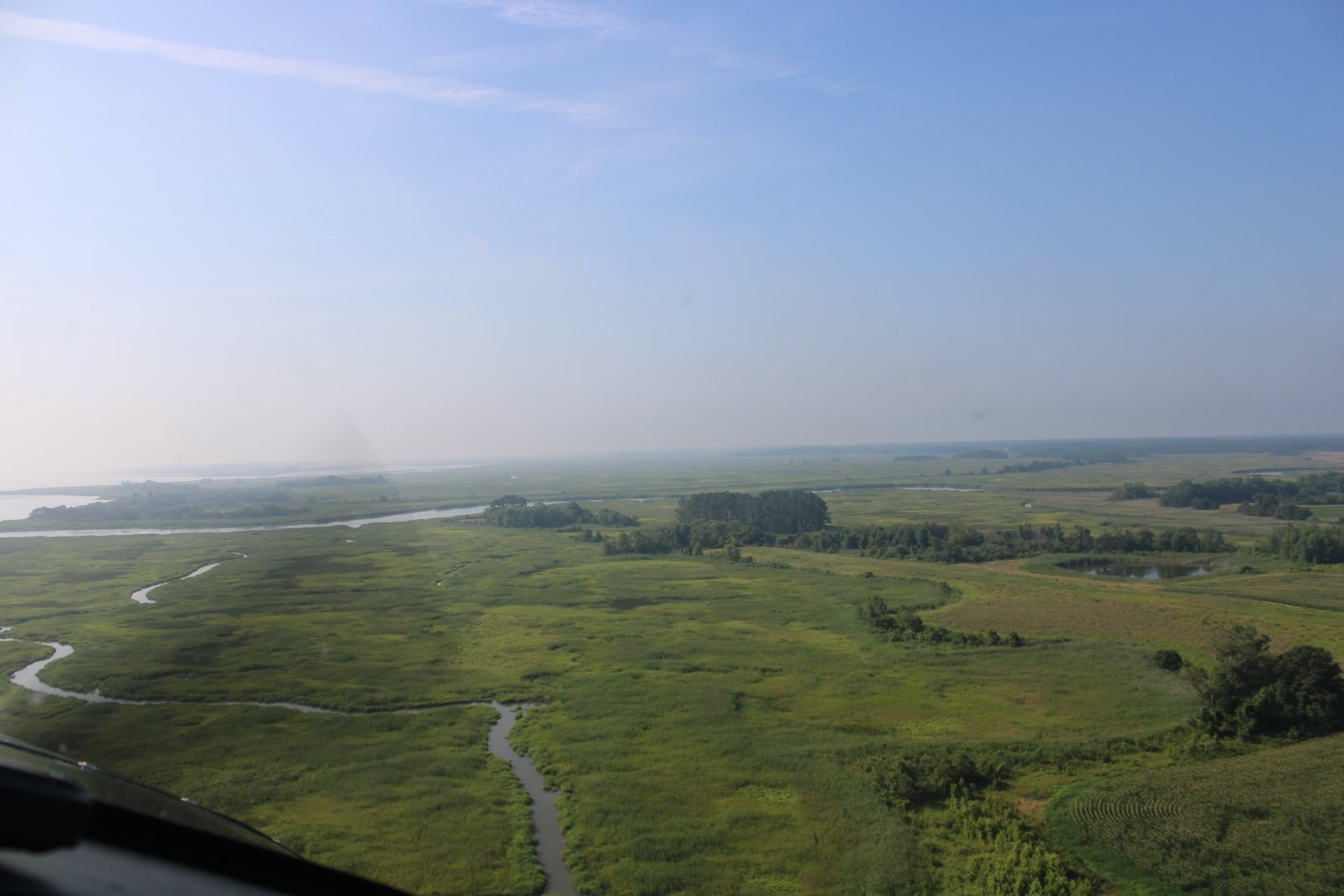
| Marshes are great to fly because there is no civilization and no obstacles. |
| |
 |
|
|
But there is the occasional bird so you have to keep your eyes out of the cockpit.
|
| |
 |
|
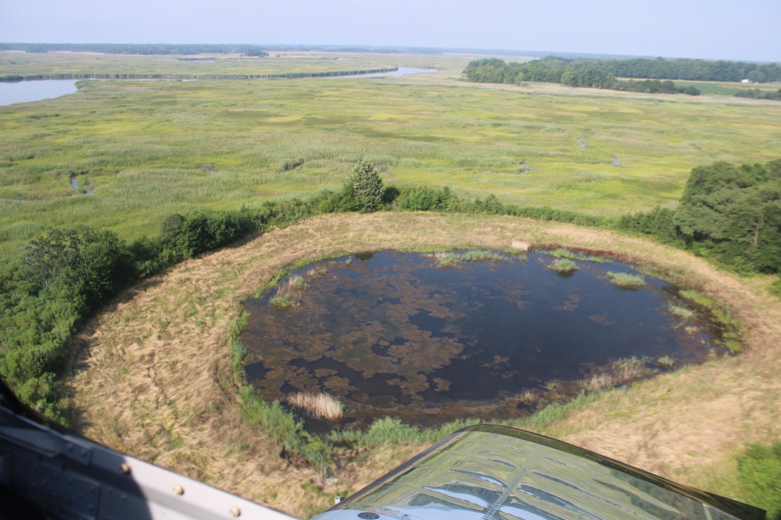
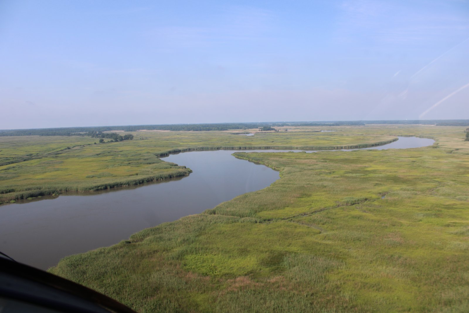
| There is also lots of water. |
| |
 |
|
|
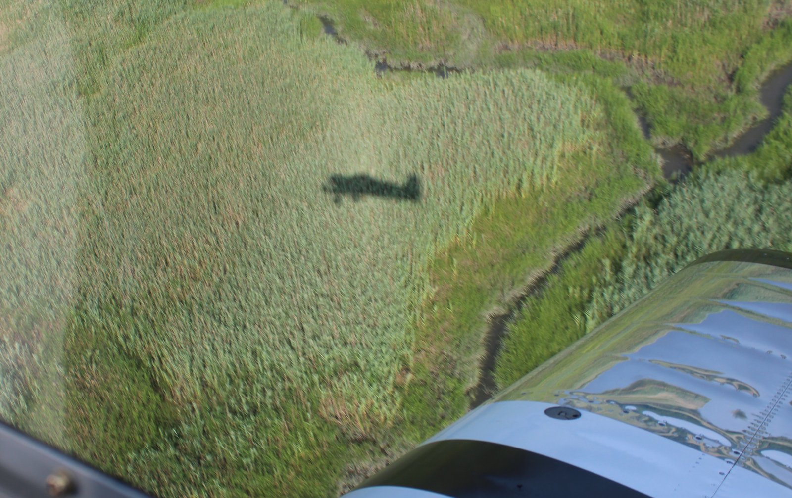
Shadow dancing.
|
| |
 |
|
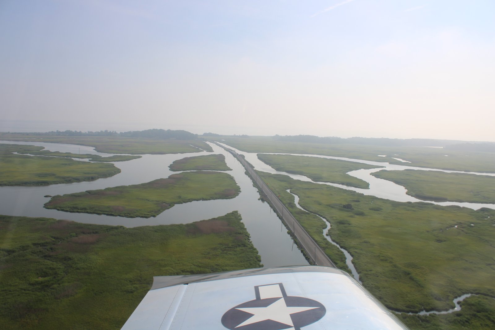
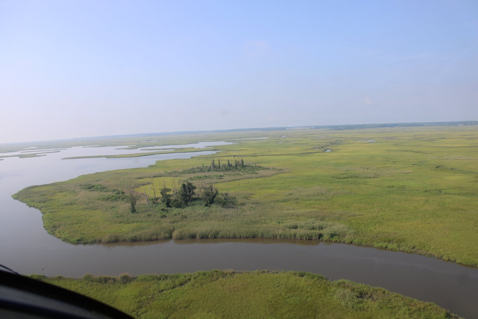
| Still heading south on the Delaware side. |
| |
 |
|
| |
| |
 |
|
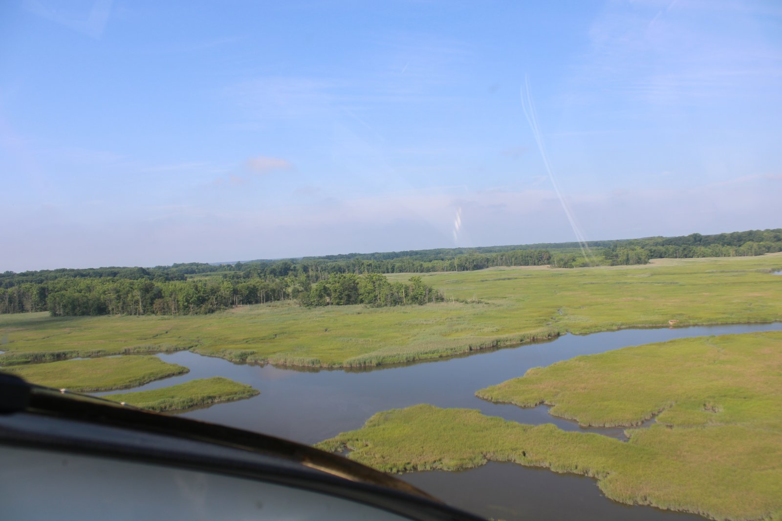
| A vast open area just north of Dover. |
| |
 |
|
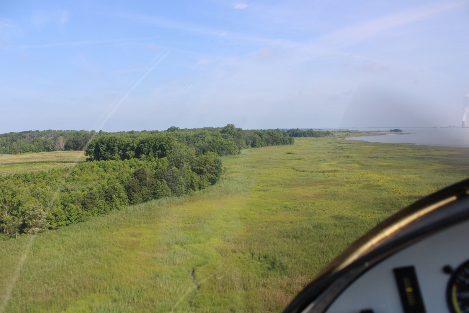
| Now heading back north. You can see the Salem Nuclear Power Plant on the other side of the Delaware River at far right. |
| |
 |
|
|
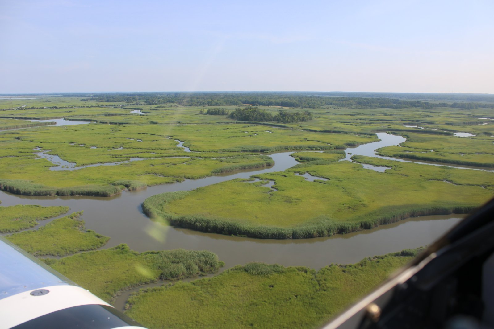
I crossed the Delaware Bay, hitting New Jersey just below the nuclear power plant.
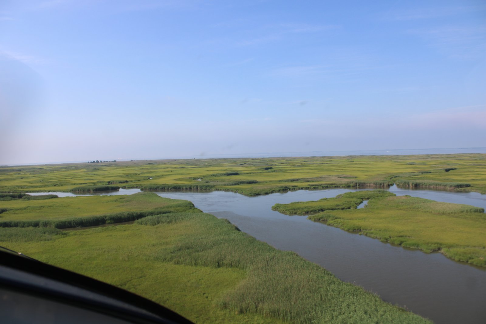
This area is always lush and pretty.
|
| |
 |
|
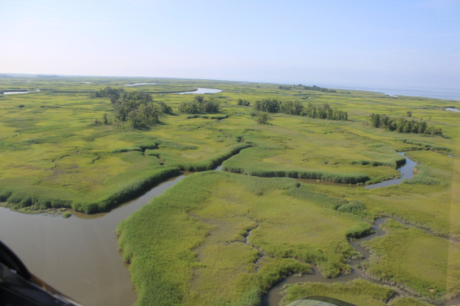
| At this time of year, the marsh grass has what I call the "velvet" look. |
| |
 |
|
| |
| |
 |
|
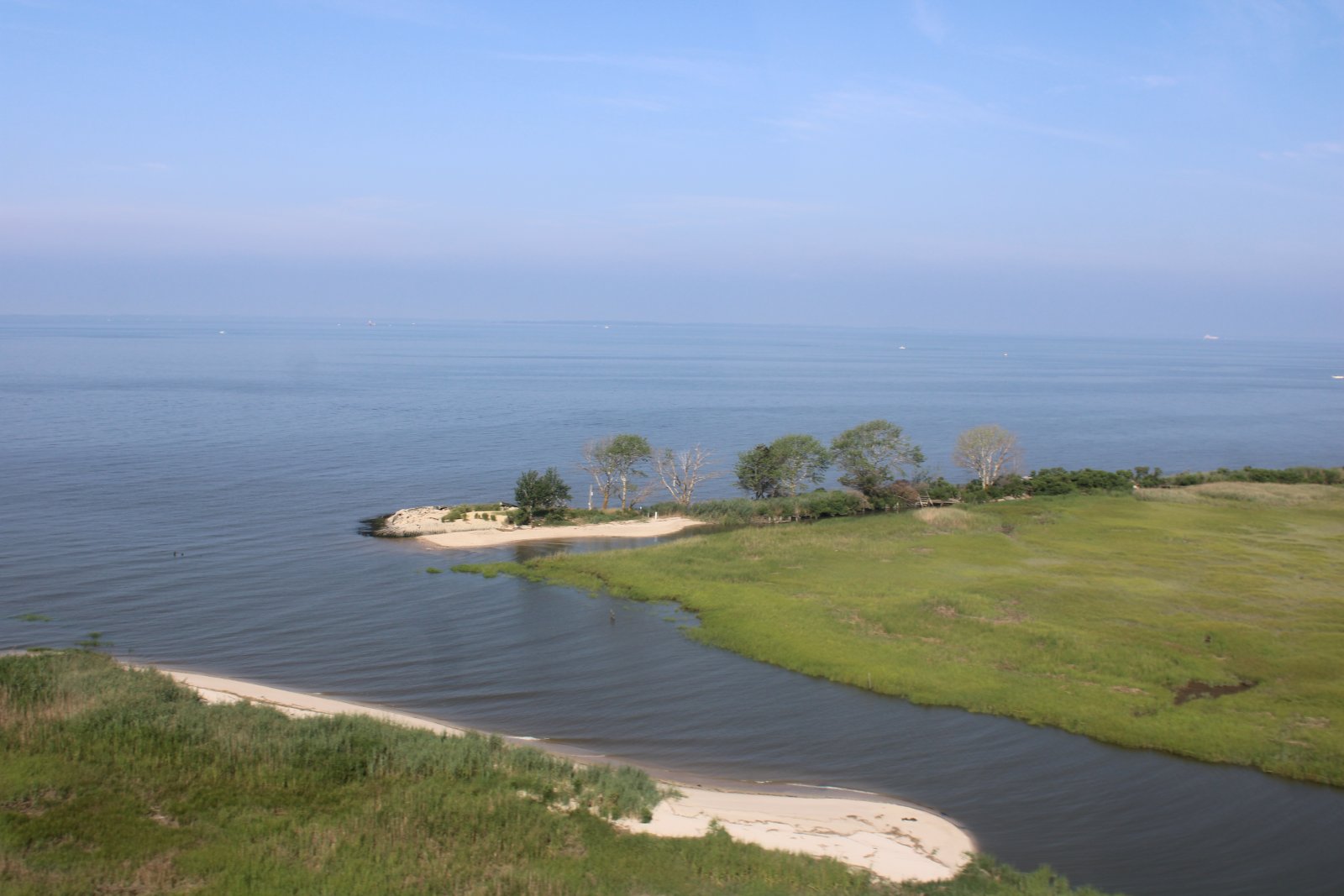
| Passing by a little deserted beach area. |
| |
 |
|
|
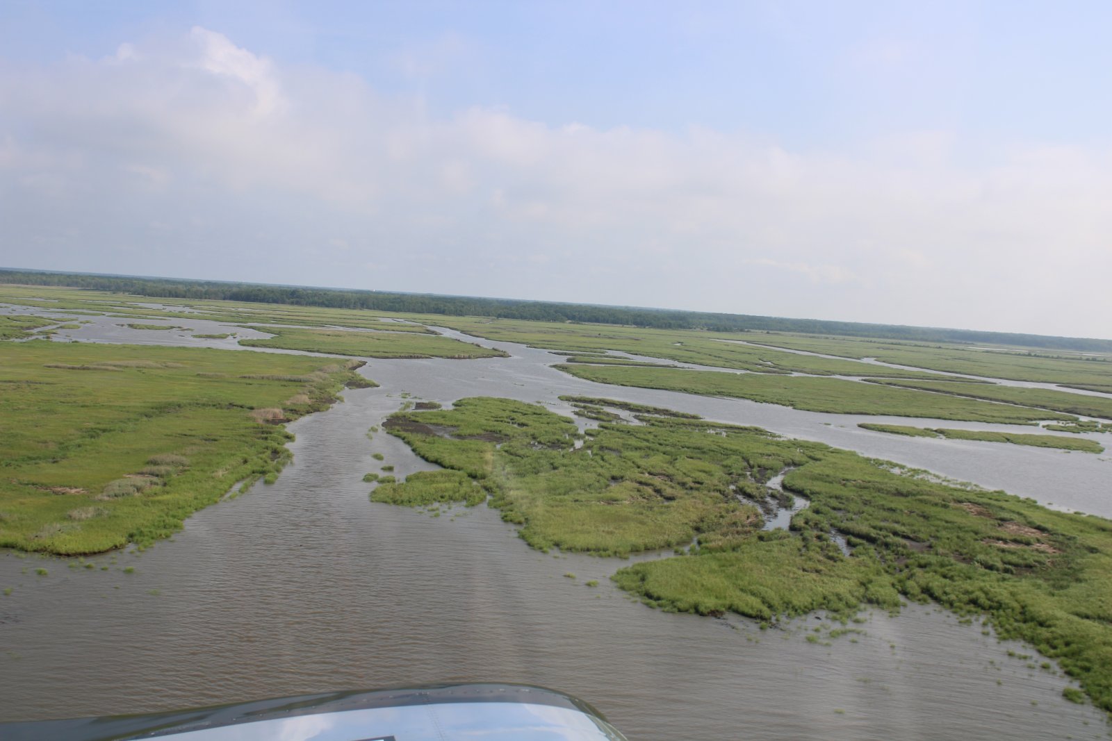
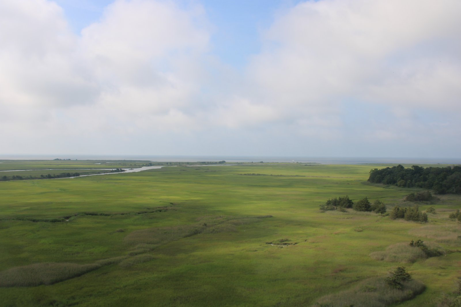
Further south, the marsh isn't as lush.
|
| |
 |
|
| |
| |
 |
|
|
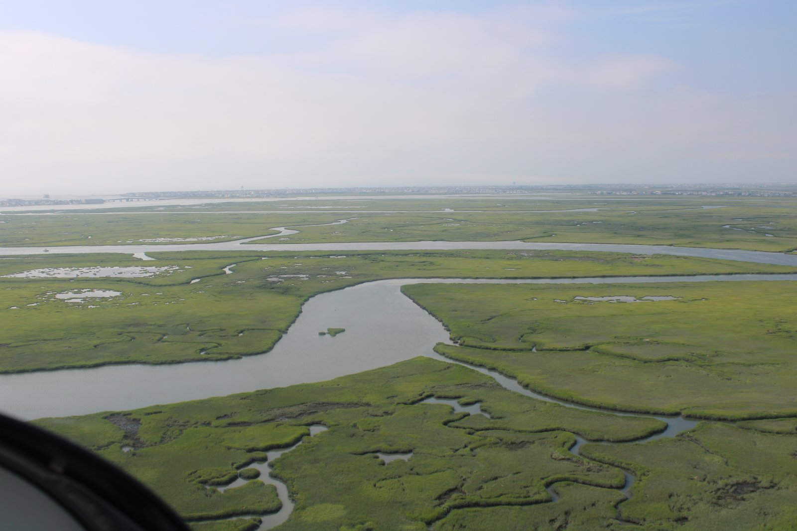
Just north of Cape May, I head east and cross the narrow tip of South Jersey. That's the Atlantic Ocean and Jersey Shore ahead.
|
| |
 |
|
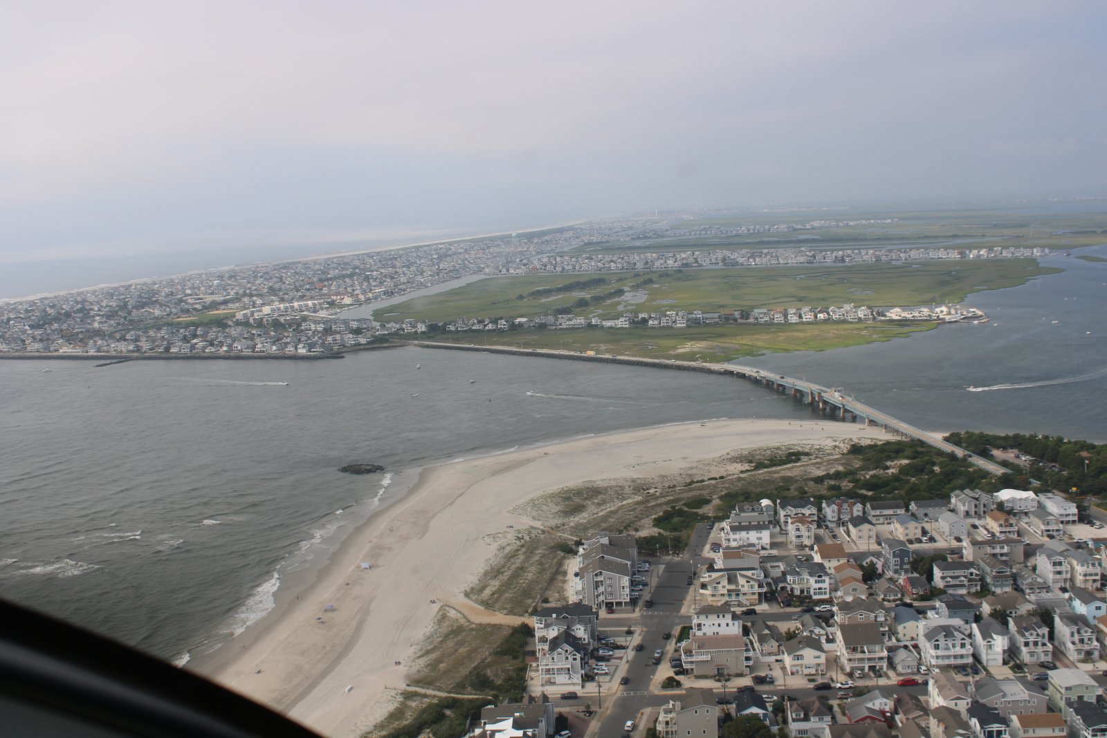
| Looking down and south at Townsends Inlet and the Ocean Drive Bridge. |
| |
 |
|
|
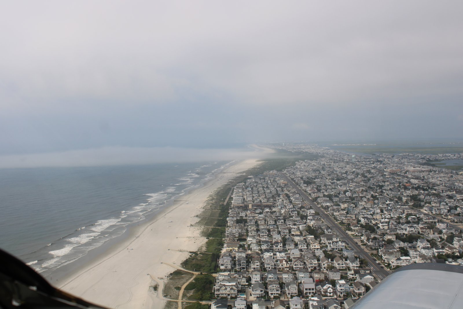
Looking south down the Jersey Shore.
|
| |
 |
|
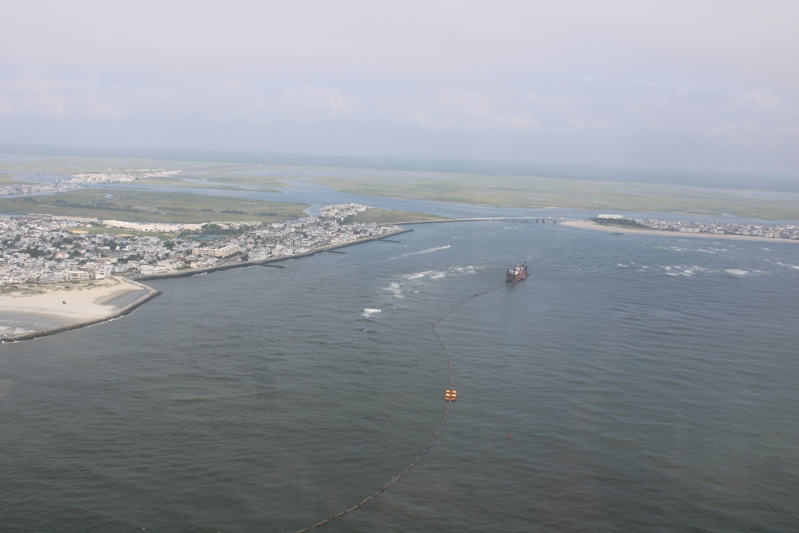
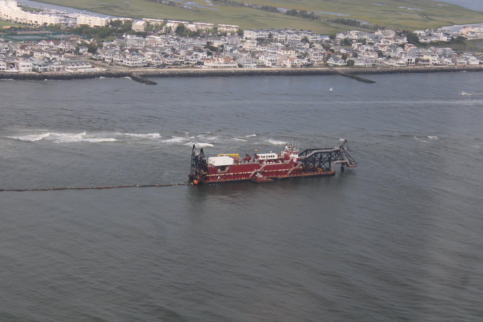
| Some kind of dredging operation taking place. |
| |
 |
|
| A closer look at the dredging vessel. That is one special purpose vessel, for sure! |
| |
 |
|
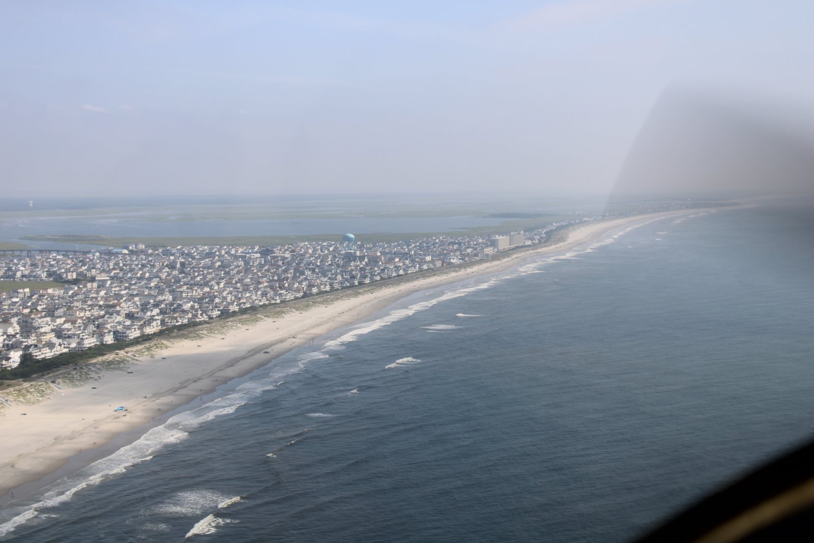
| Flying north up the Jersey Coast. |
| |
 |
|
|
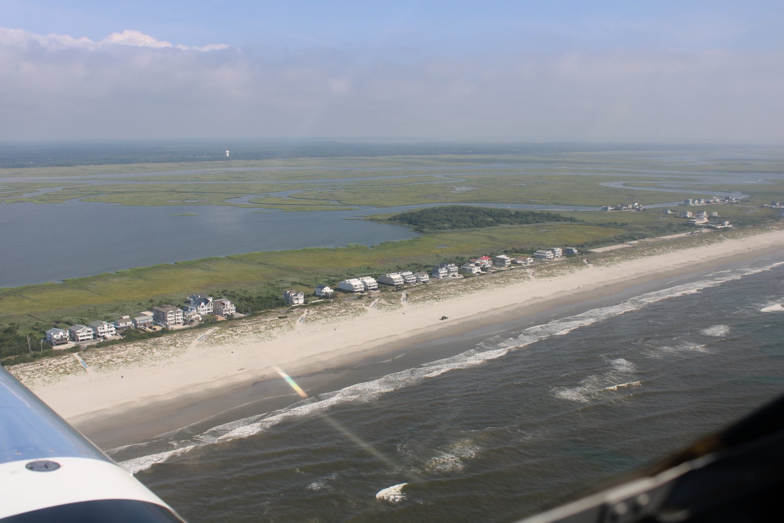
A relatively undeveloped stretch of the beach.
|
| |
 |
|
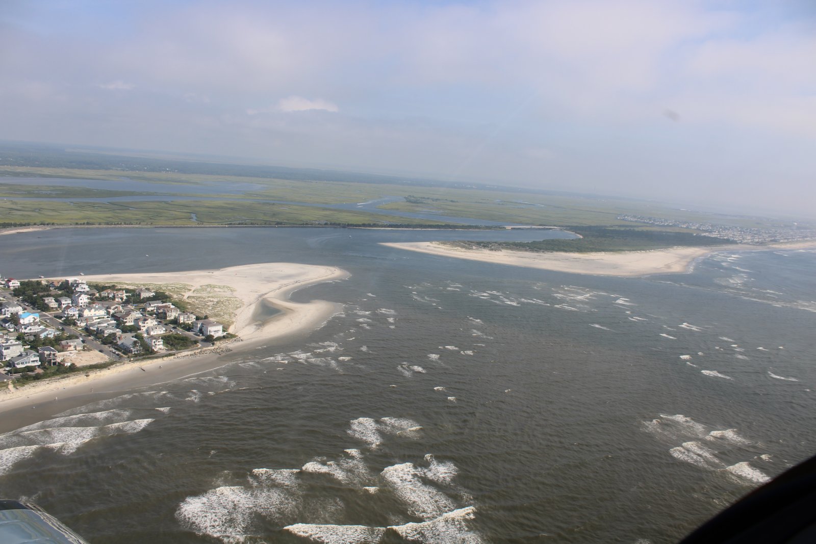
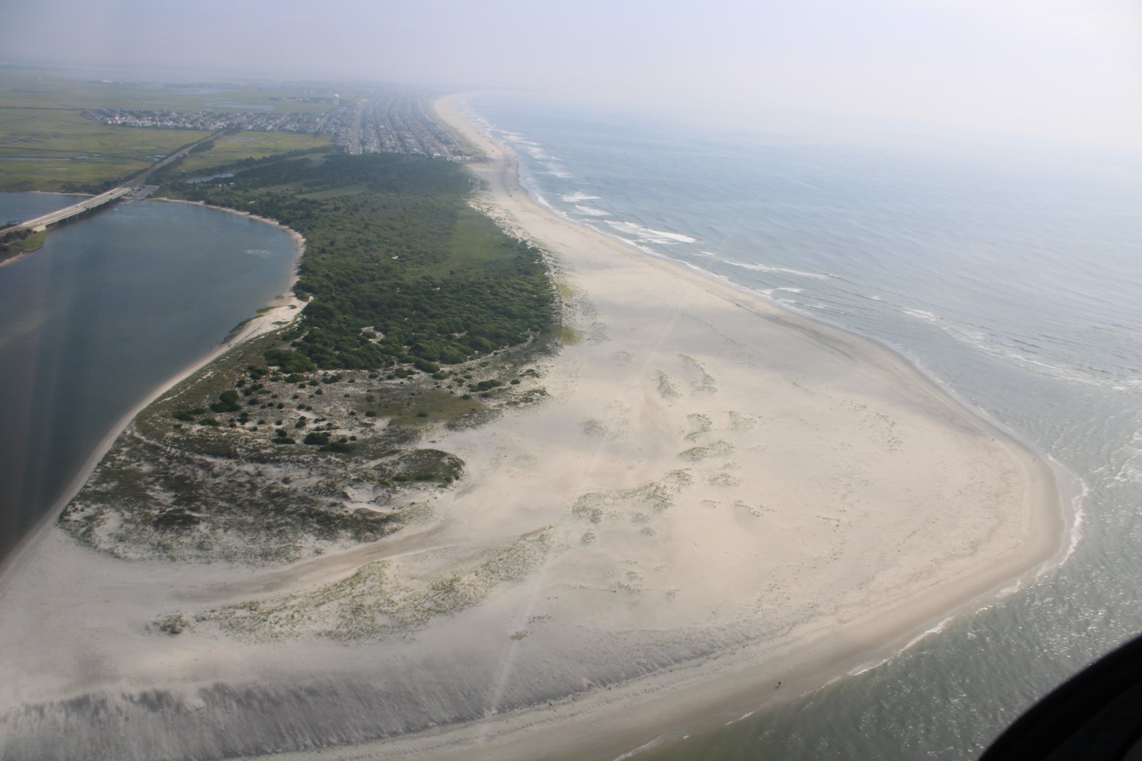
| Approaching Corsun's Inlet. North of the inlet is a State Park, which explains why it is undeveloped. |
| |
 |
|
|
A good look at the Corsun Inlet State Park.
|
| |
 |
|
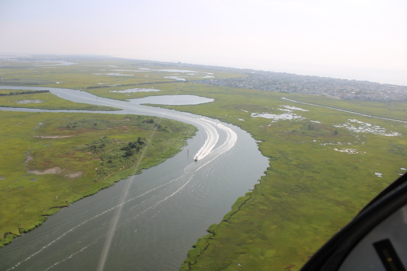
| Lots of waterways and marsh once you get away from the beach. |
| |
 |
|
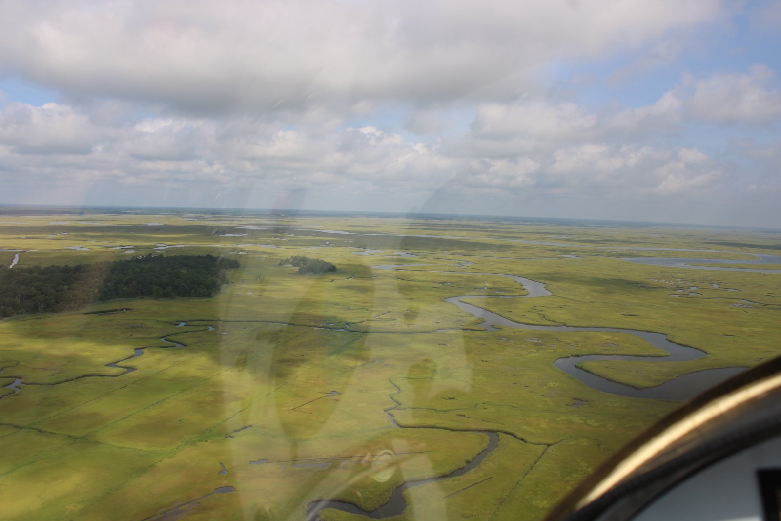
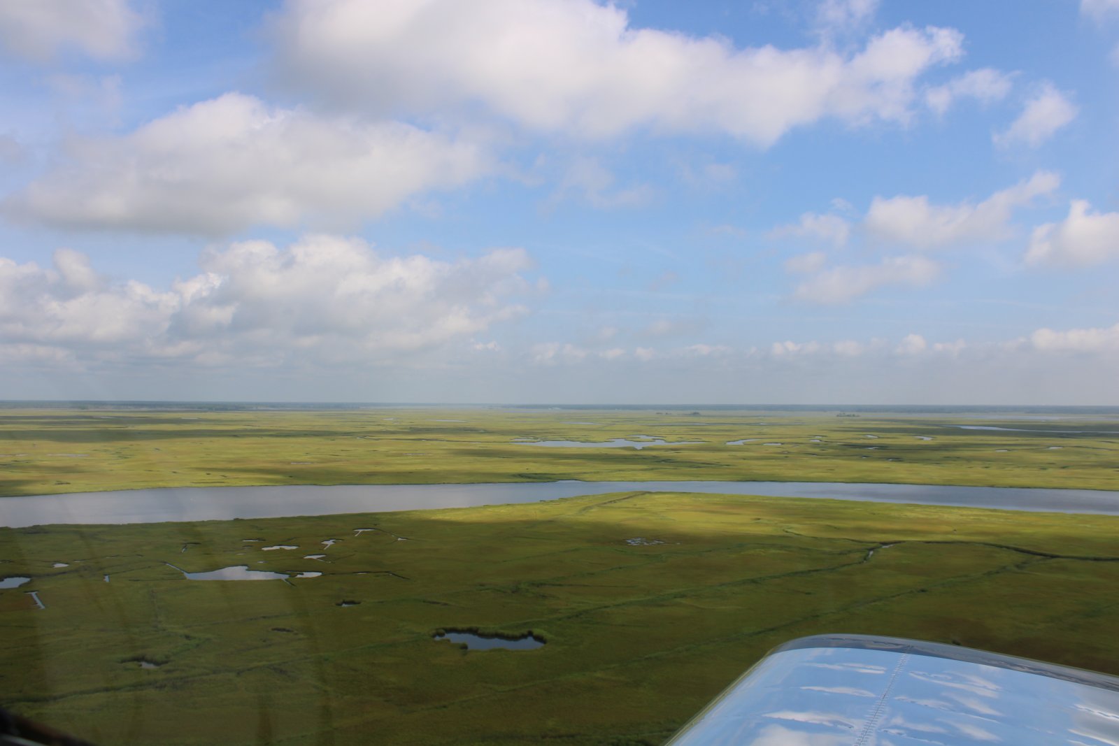
| Flying northwest into the huge Tuckahoe marsh area. |
| |
 |
|
|
|
| |
 |
|
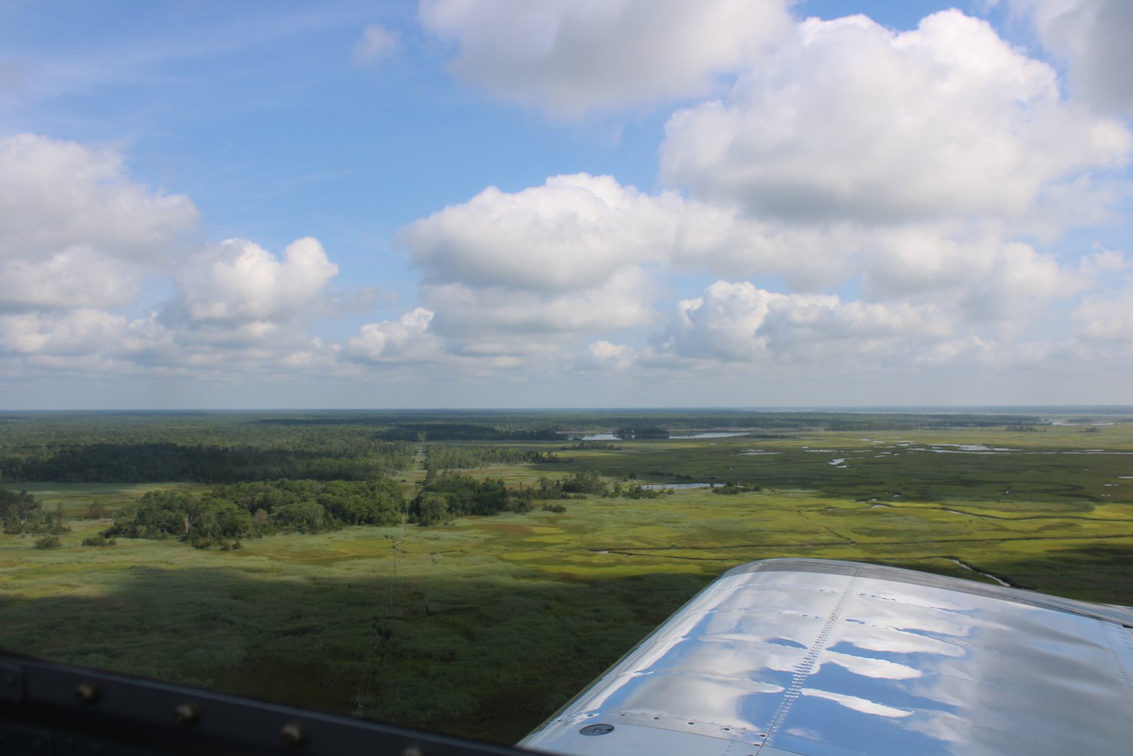
| The marsh begins to give way to forest. |
| |
 |
|
|
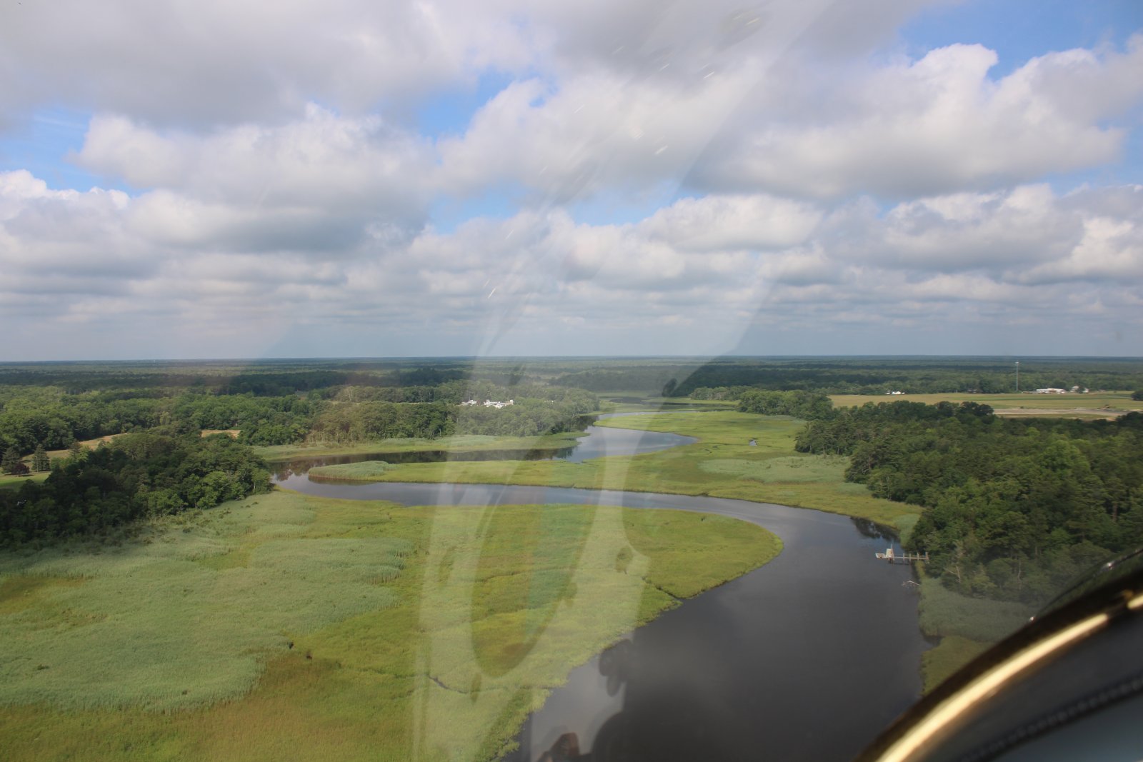
Flying west, following the Tuckahoe River as it peters out.
|
| |
 |
|
|
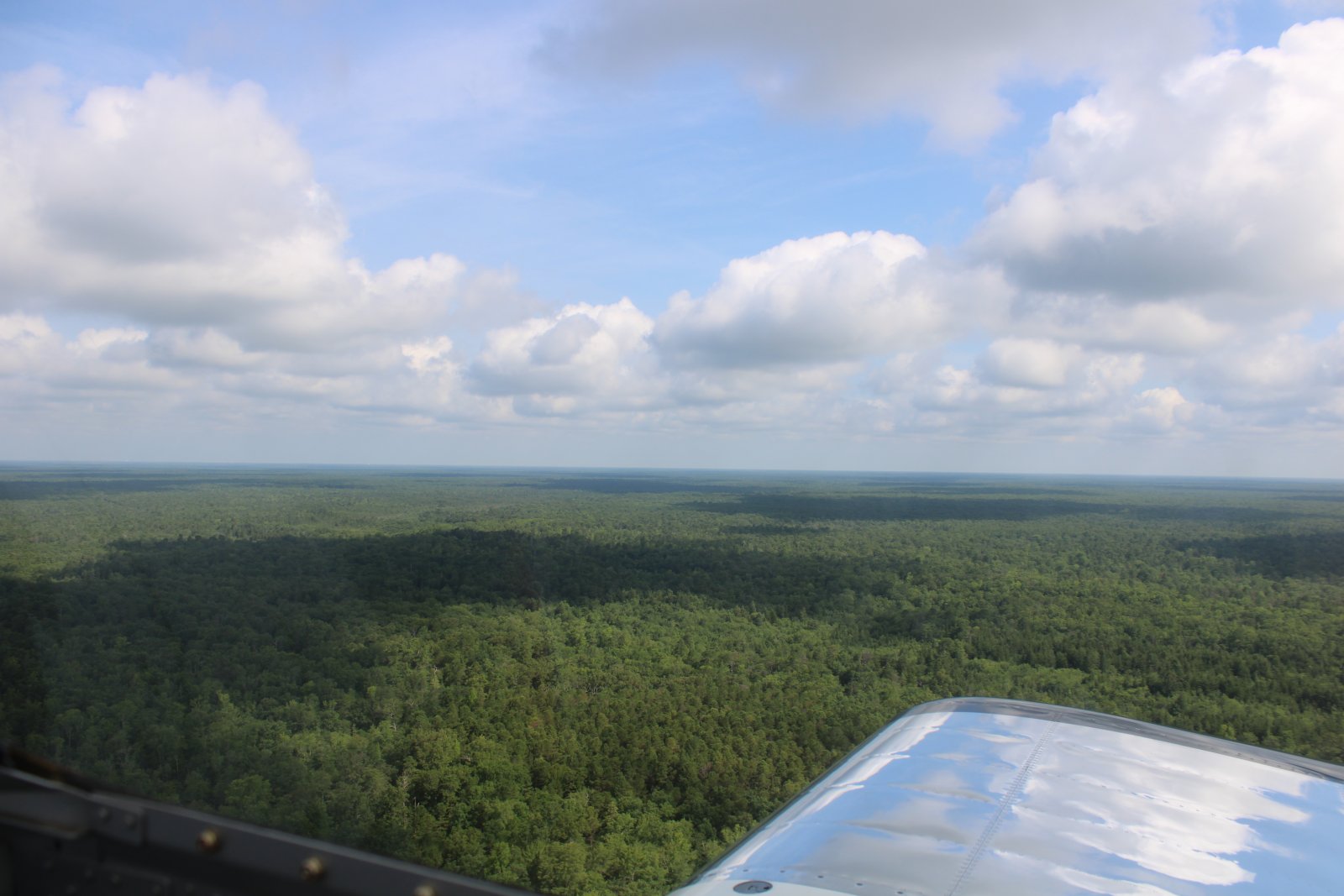
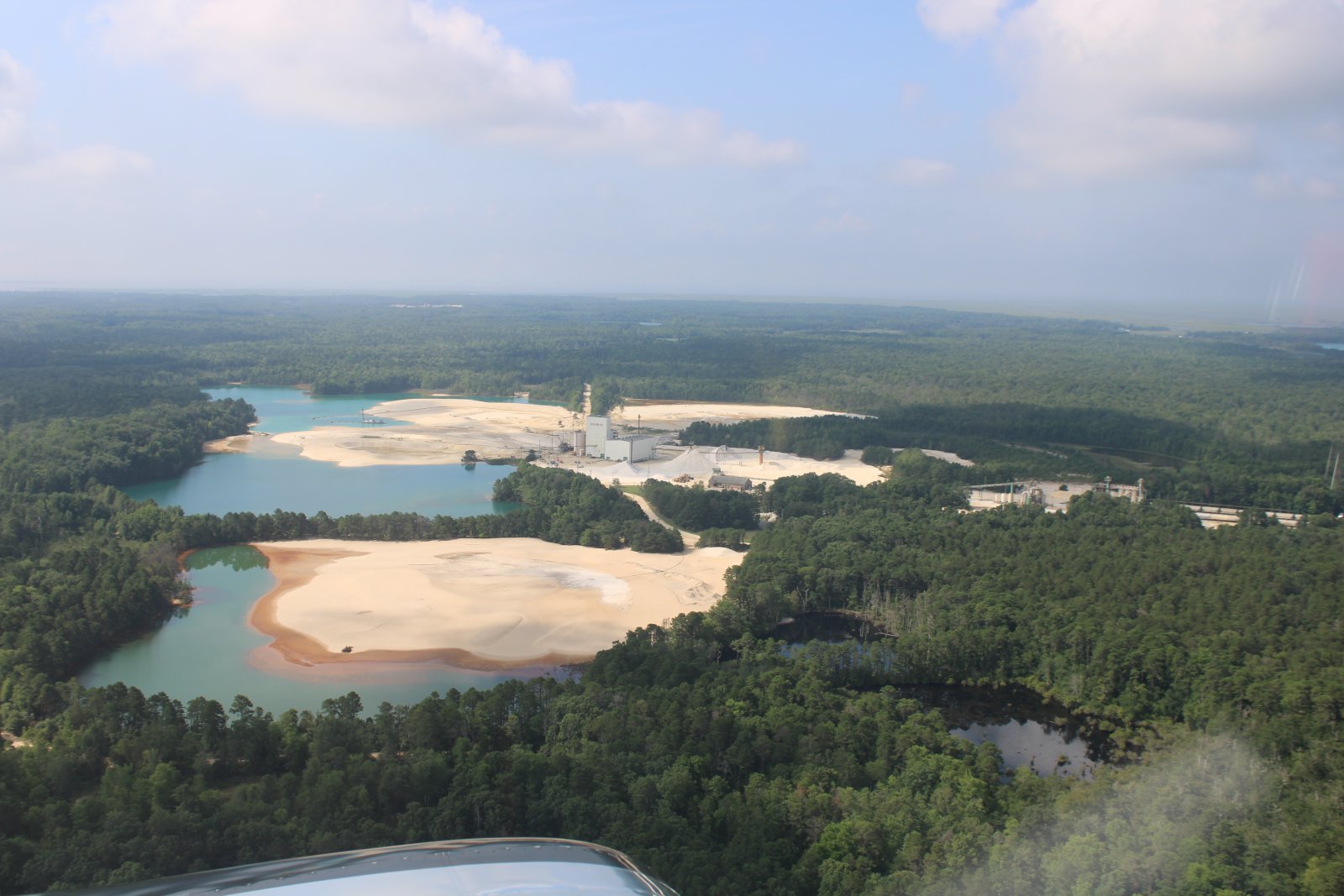
And then I'm over the vast New Jersey Pine Barrens, the largest remaining example of the Atlantic coastal pine barrens ecosystem.
Nothing but trees as far as the eye can see; not something you expect when you think of New Jersey, is it?
|
| |
 |
|
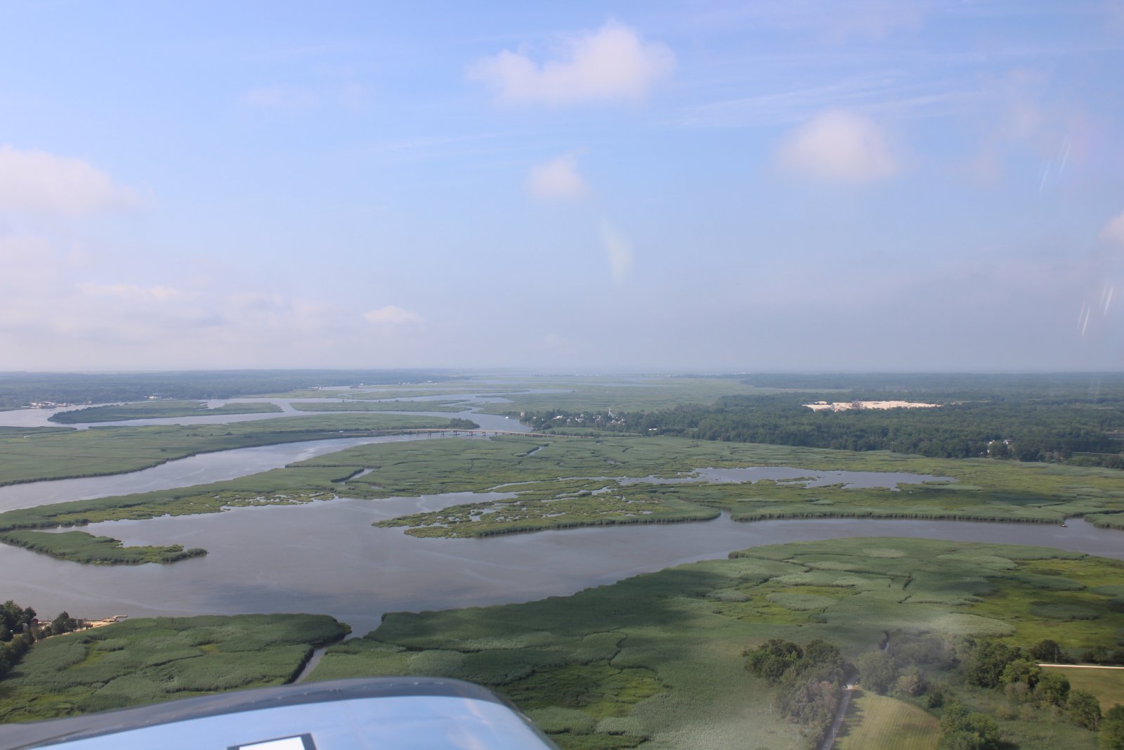
| Looking south down the Manumuskin River which runs to Delaware Bay. |
| |
 |
|
| Passing by one of many sand and gravel supplier sites you see around this area. |
| |
 |
|
|
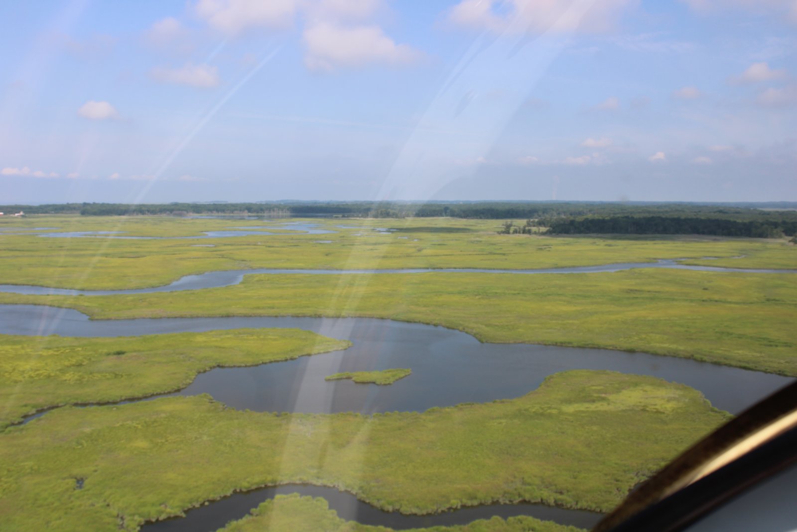
Back over the South Jersey marsh, heading northwest.
|
| |
 |
|
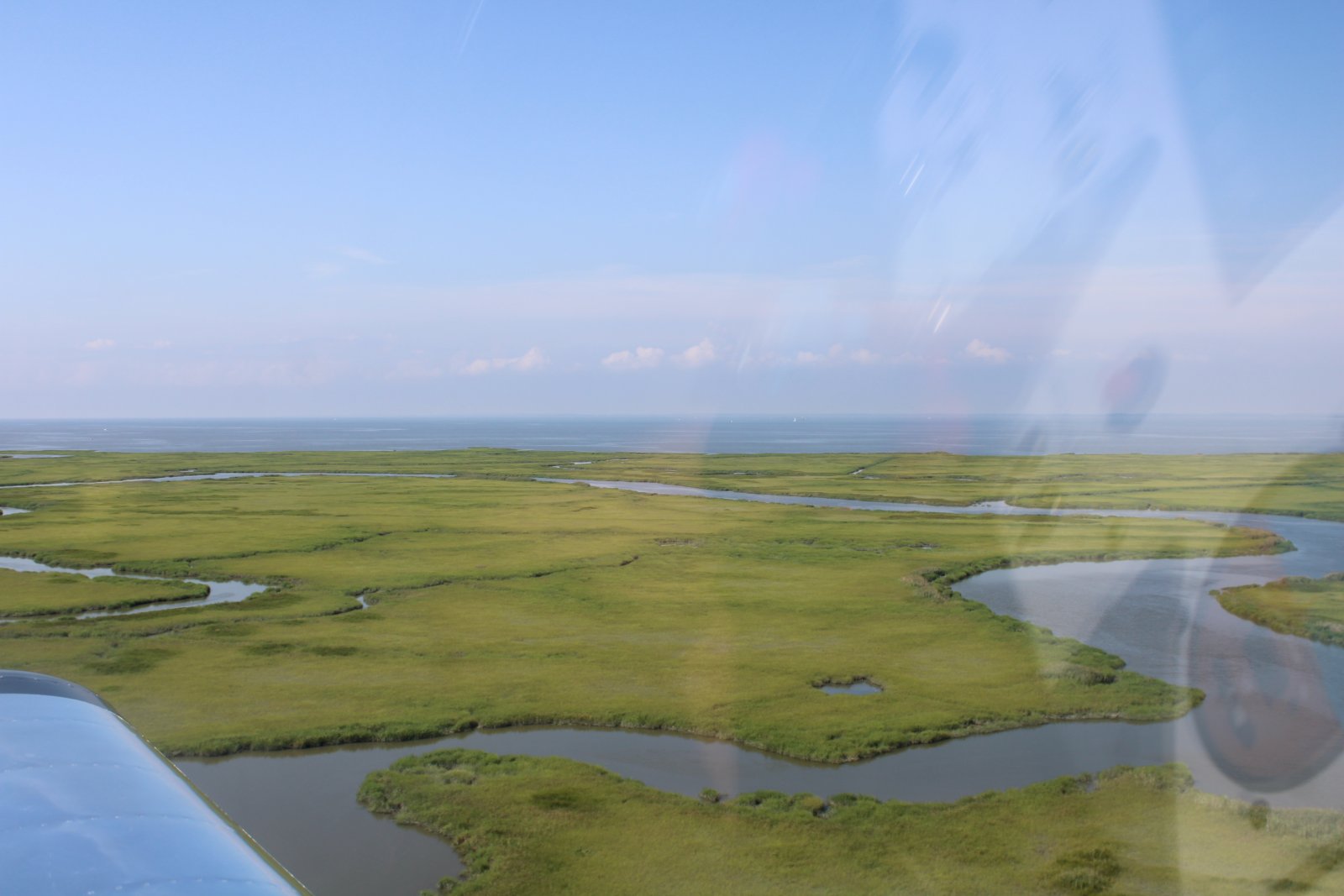
| The Delaware Bay comes into view. |
| |
 |
|
|
|
| |
 |
|
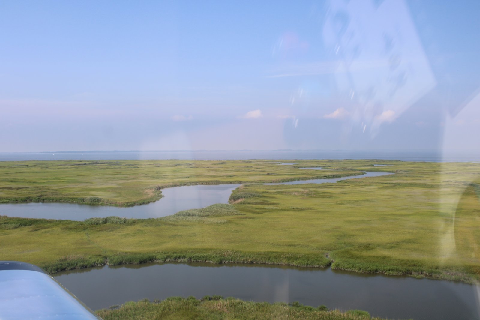
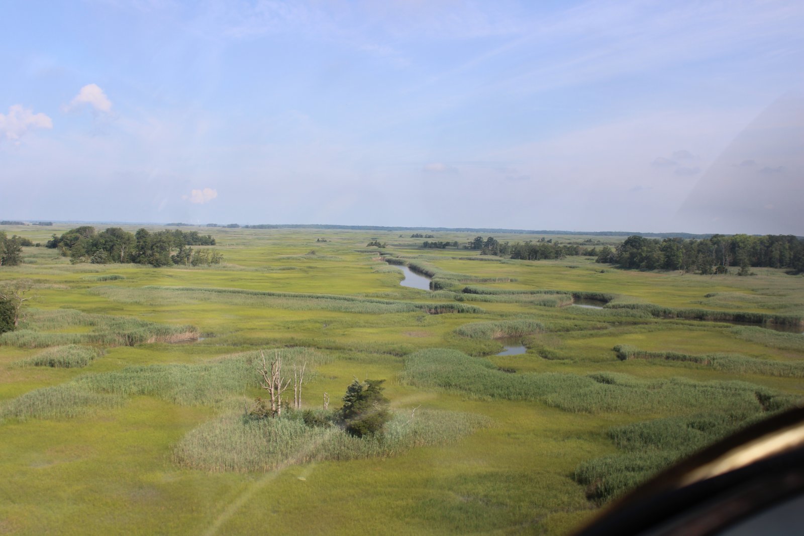
| Passing over the "velvety area" again. |
| |
 |
|
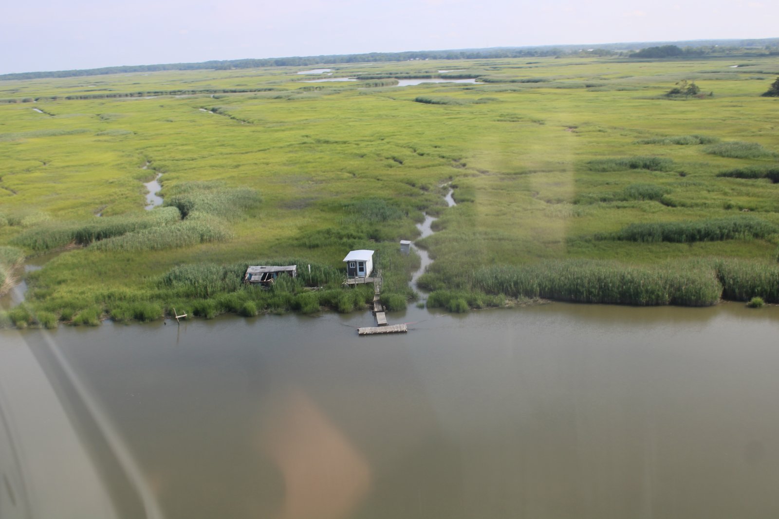
| A little hunter/fisherman's shack, accessible only by boat, sits on the shoreline. |
| |
 |
|
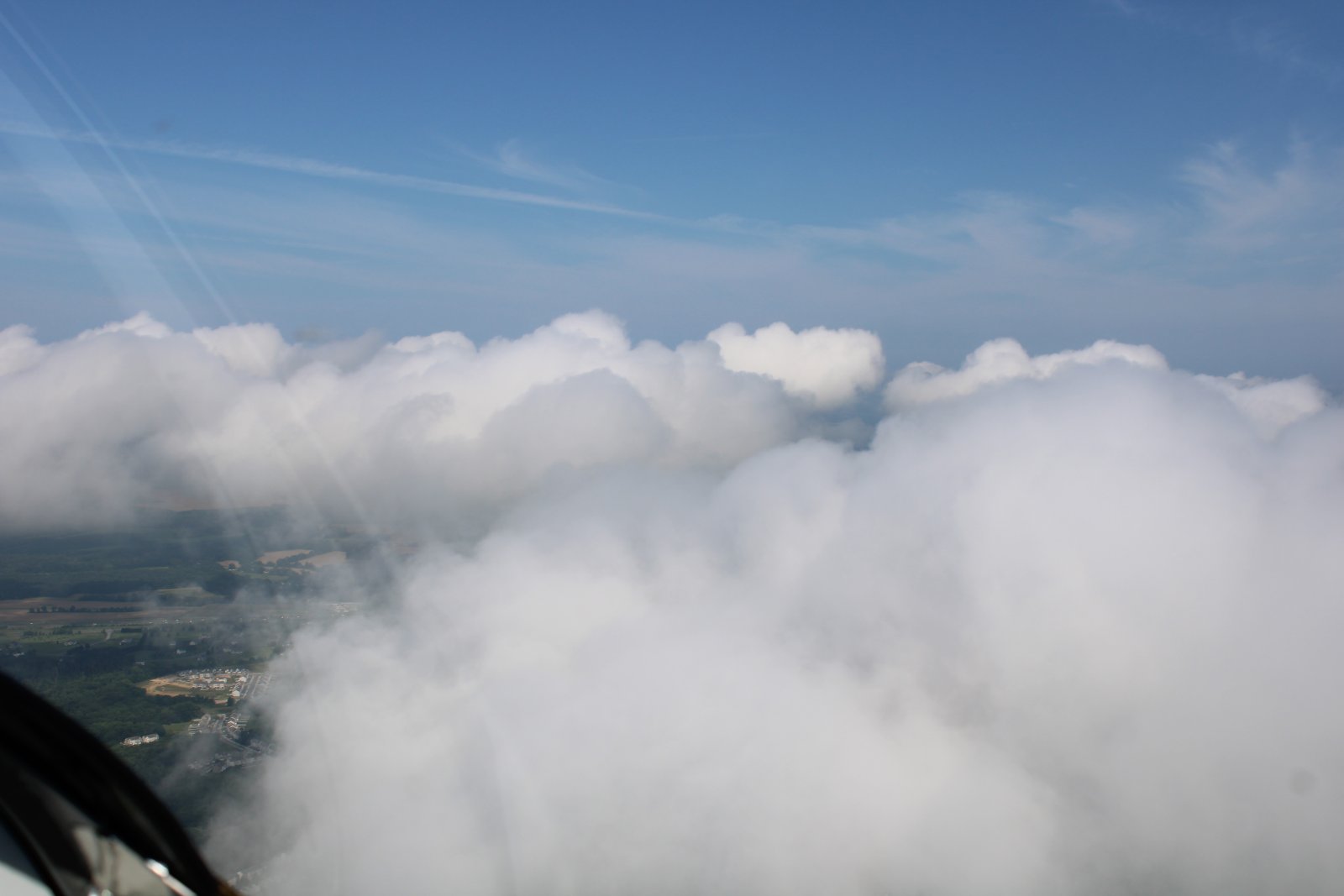
| I cross the Delaware Bay and climb to get above a scattered layer. It's starting to get warm and I want the cool air. |
| |
 |
|
|
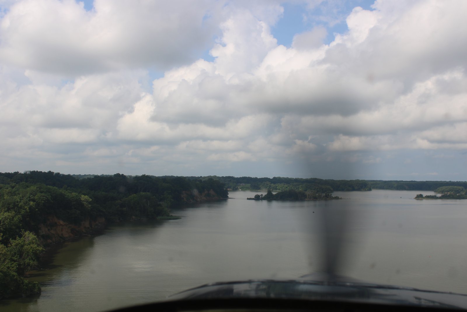
I fly west down the Sassafras River which leads to the Chesapeake Bay.
|
| |
 |
|
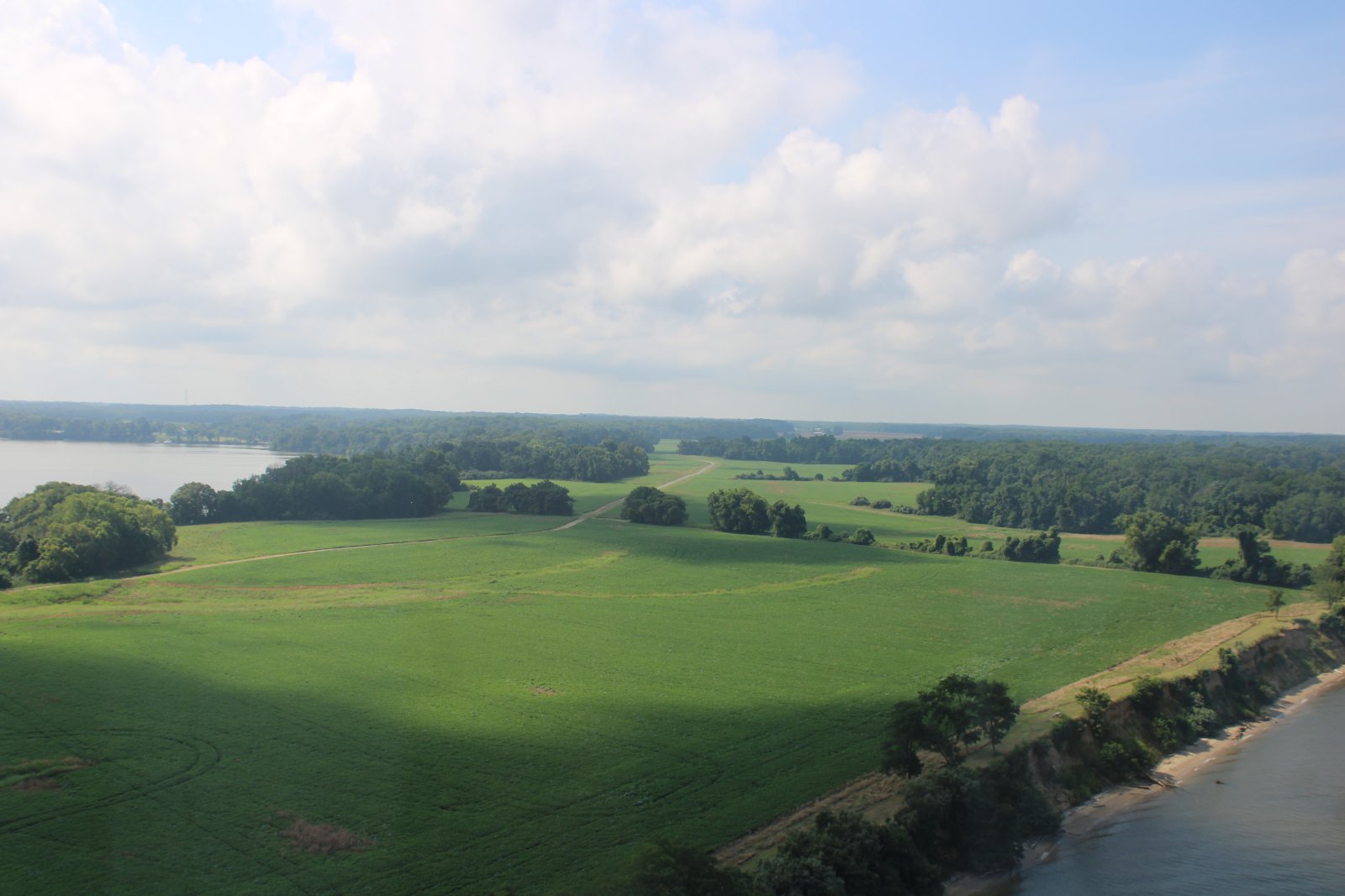
| Then down the Eastern Shore. I fly by a place I call "The Road". |
| |
 |
|
|
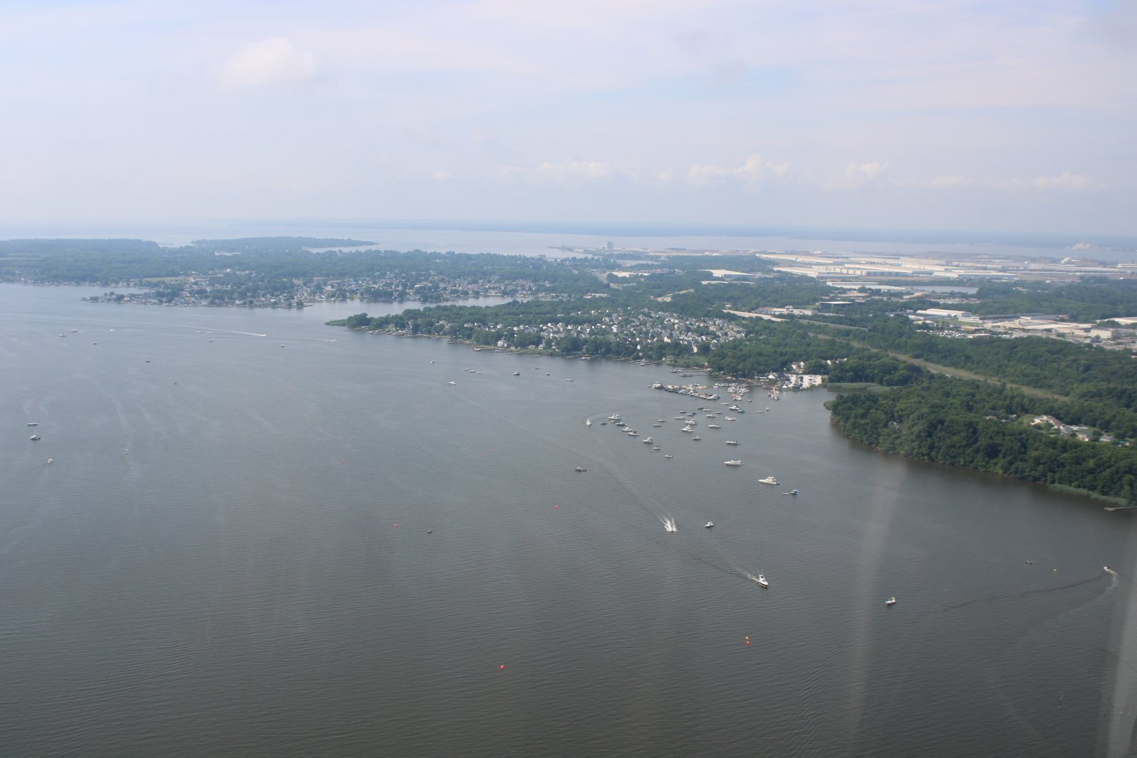
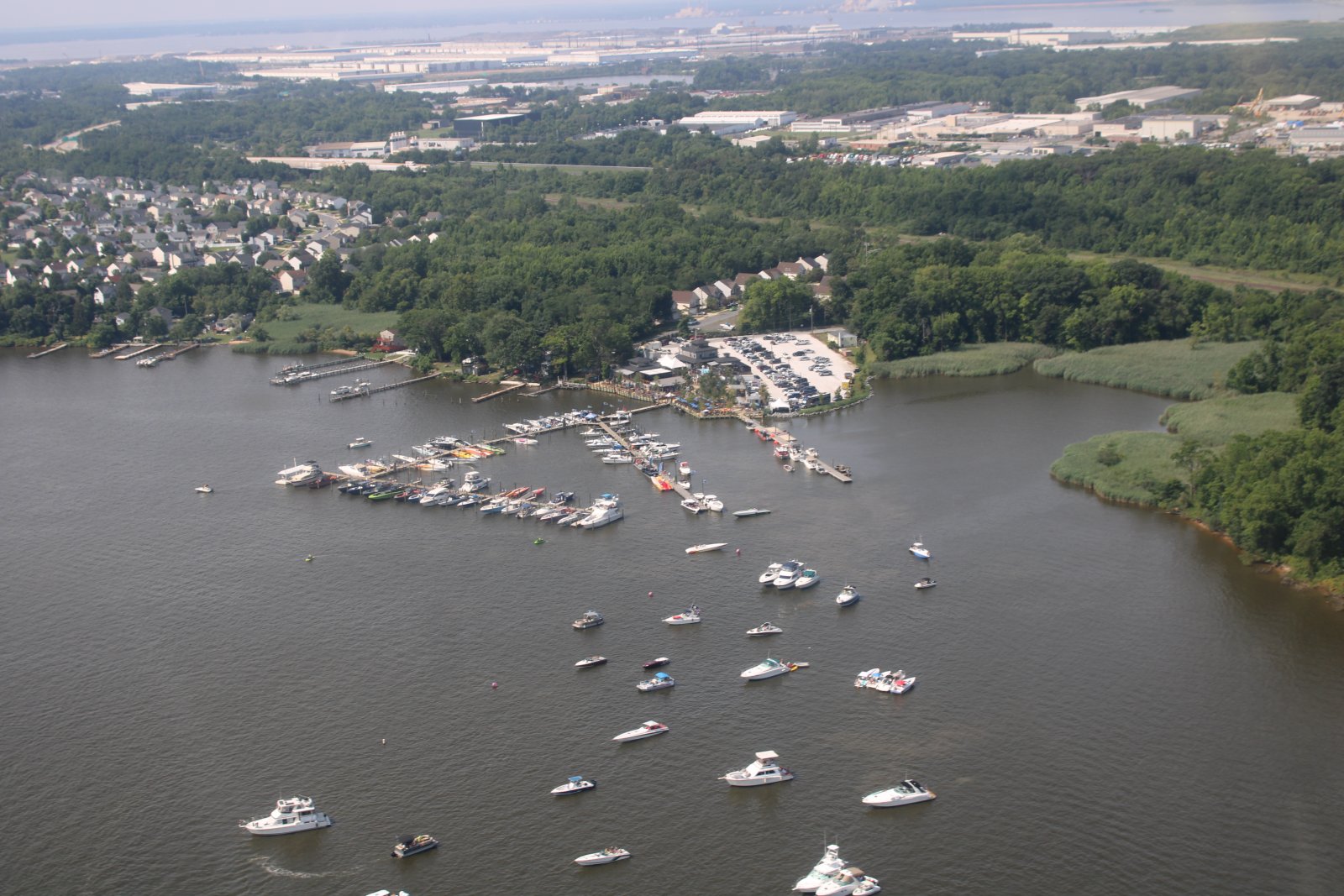
Crossing the Bay, I'm back over the Back River to check out Tiki Lee's again.
|
| |
 |
|
| More boats have arrived to see the show. |
| |
 |
|
|
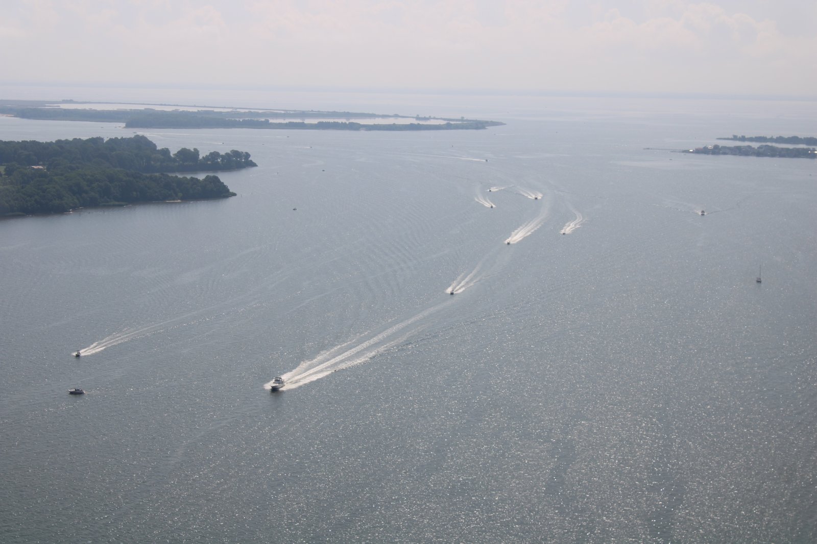
With more on the way!
I logged about two hours on this very fun flight. It's good to be in the air again.
|
| |
 |
|
| |
| |
|
|
|
|
|
|


